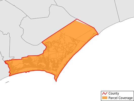
Carteret County
Parcel Data
Price: $200.00
Last Updated:
2025-Q1
Parcels in County:
63,510
Parcel data available to download as a GDB, GeoPackage, Shapefile, Excel, CSV, or Google Earth KML file.
All purchased data comes with six months of access, including any updates, at no additional cost.
Key attribute coverage for Carteret County
The percentage of Carteret County parcels containing the following key attributes:
Owner: 99%
Parcel Number: 100%
Acreage (Calculated): 100%
Site Address: 88.1%
Mailing Address: 98.5%
All available attributes in Carteret County
Parcel Number
Site Address
Owner
Transfer Date
Sale Price
Building Size
Land Use Code
Land Use Class
Acreage (deeded)
Acreage (calculated)
Perimeter
Municipality
School District
Zip Code
Flood Zone
Flood Zone Subtype
Census Tract
Census Block Group
Census Block
Land Market Value
Building Market Value
Mail Address3
Legal Desc1
Year Built
Bedrooms
Total Bath
Buildings
Condition
Addr Sec Unit Num
Place Gnis Code
Land Cover
Elevation
Robust Id
Usps Residential
Crop Cover
Acreage Adjacent With Sameowner
Municipalities Respresented in Carteret County
Atlantic Township: 707
Beaufort Township: 8,153
Cedar Island Township: 521
Davis Township: 506
Harkers Island Township: 1,788
Harlowe Township: 1,371
Marshallberg Township: 539
Merrimon Township: 1,354
Morehead Township: 22,867
Newport Township: 4,602
Portsmouth Township: 26
Sea Level Township: 461
Smyrna Township: 745
Stacy Township: 298
Straits Township: 2,565
White Oak Township: 17,007
Save money when you buy data in bulk
We offer discounted pricing on county and state downloads.